Hazards screening evidence
Distances
Calculate straight-line screening distances from a Project address to schools, public-use airports, and private airstrips.
Screening map
School and airport geometry
Map pins and measurement lines use the same configured database records.

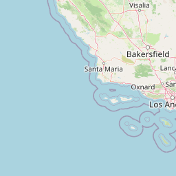
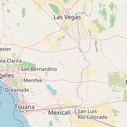
 Tiles © OpenStreetMap contributors
SchoolPublic-use airportPrivate airstripProject address
Address screen
Calculate distances
Enter a California address or coordinates as latitude, longitude.
Configured records
Distance source table
Search the records used by the map. Hospital locations are intentionally excluded because they are not a Hazards 5.4(c) or 5.4(e) distance predicate.
| Type | Name | Location | Source | Coordinates |
|---|